Not Found
Whoops, something isn't right
We're sorry, but the page you were trying to view does not exist. Check out our sitemap and sitewide search to navigate our content. Please contact Digital Communications if you need further assistance.
Did you know?
The Port of Portland operates three airports, three active marine terminals and five business parks. They all add up to economic prosperity and a better quality of life. We value leadership, inclusion, and service. We are honored and proud to serve you.
Connecting Portland to the World
Want to explore the world? We'll help.
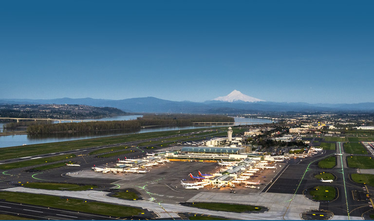
Portland International Airport
Welcoming, efficient, and consistently voted Best U.S. Airport.
Come fly with us. And we're always looking for ways to serve you even better. Check out what it takes to run a world class airport.
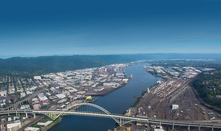
Marine
We're on the move: As Oregon's largest port, we ship over 11 million tons of cargo a years, including grain,
minerals, forest products, and autos.
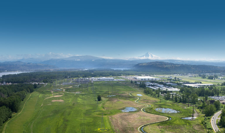
Commercial Development
We go beyond transport: Our business parks house more than 400 companies, including warehouses, manufacturers
and distributors for clothing, shoes, tires, household goods and food.